FloodWise Property Report
Understand your property’s flood risk and access technical flood guidelines for development purposes.

What is a FloodWise Property Report?
A FloodWise Property Report shows the risk and type of flooding at a property.
It includes a flood summary graph, historic flood levels and aerial maps that give you detailed insight into your flood risk.
The information in the FloodWise Property Report is based on the latest adopted flood planning information in Council’s planning scheme, Brisbane City Plan 2014 (City Plan).
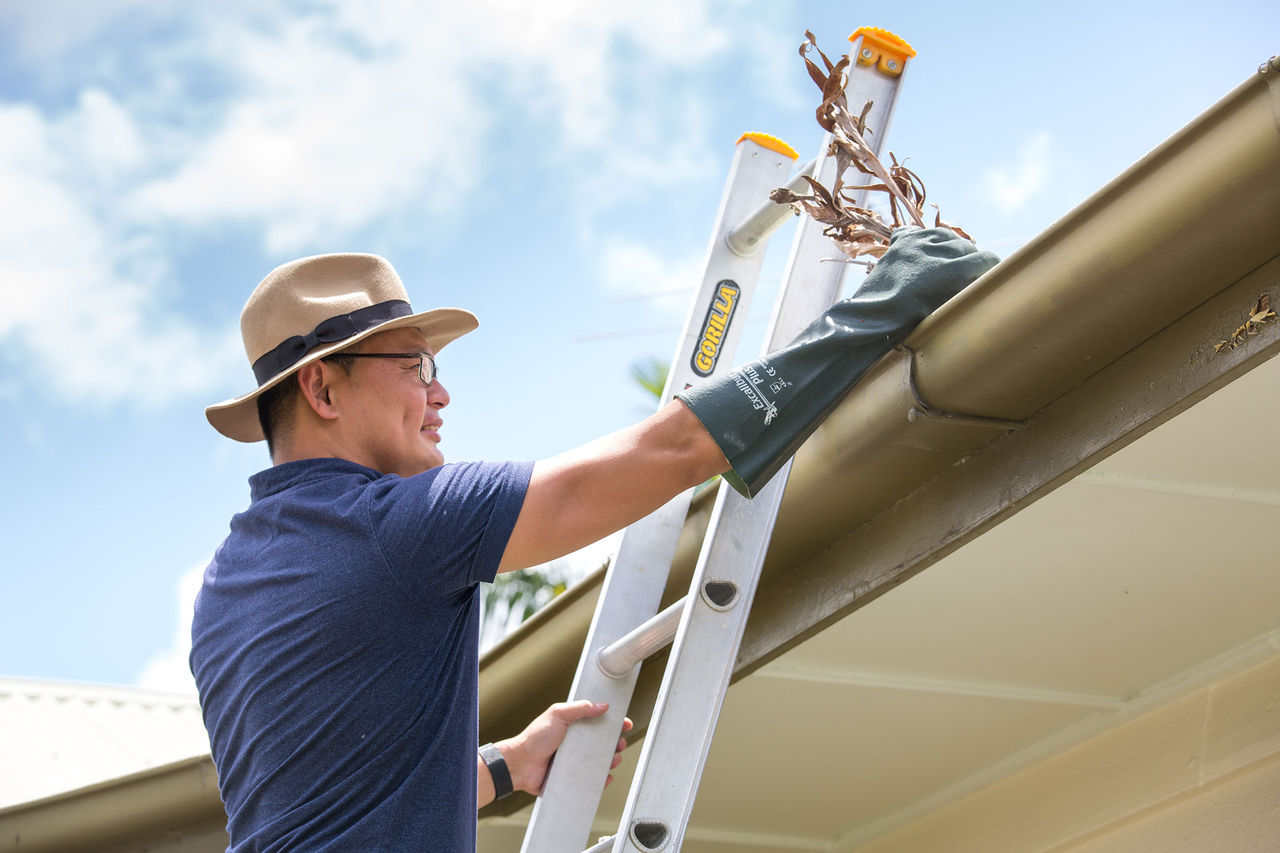
The report helps surveyors, builders, certifiers, architects and engineers to plan and build projects that comply with City Plan.
How do I access the report?
You can generate a FloodWise Property Report from Flood Information Online. This is Council’s online hub of flood risk information.
Flood Information Online has resources to help you understand your property’s flood risk and manage and prepare for flooding, including the Flood Awareness Map and the FloodWise Property Report.
Flood Awareness Map
The Flood Awareness Map is an easy-to-use online tool that offers general flood awareness information. You can search for a property to see the likelihood of it being affected by different types of flooding.
The Flood Awareness Map is updated with the latest flood studies and models endorsed by Council. Use information from the Flood Awareness Map to assess your property’s flood risk.
The map:
- covers Brisbane Local Government Area
- shows the possibility of flooding, including river, creek, storm tide and overland flow flooding extents and impact levels
- shows historic major flood events
- doesn’t show flooding in real-time.
You can download a FloodWise Property Report based on your search.
FloodWise Property Report
The FloodWise Property Report is a technical document designed for builders, architects, engineers and professionals in property development.
It provides detailed flood planning information specific to a property, including:
- estimated flood levels
- habitable floor level requirements
- other technical data.
This FloodWise Property Report helps industry professionals to plan and build to meet Council's flood guidelines.
Generate a FloodWise Property Report
Go to the Flood Awareness Map and type in your property address, lot plan or suburb in the search bar.
Your property will be highlighted with a red border on the map.
The Flooding Overview panel will show a summary of flood types and their likelihood of impacting your property.
You can switch between map layers to narrow your search and look at historical flooding.
Click the 'Technical FloodWise Property Report' button to download a report in 20 seconds.
How to read a FloodWise Property Report
A FloodWise Property Reports includes technical flood information for building and development.
Depending on the flooding modelled on the property, you may see one of 2 results in this opening section.
If no river, creek or storm tide flood levels have been assigned to the property for building or development purposes, you will see a message indicating this.
It is important to note that flooding may still present a risk and could include overland flow, which is shown as a property development flag further down the report.
If river, creek or storm tide flood information is available for the property or lot, a graph will be shown.
Watch our video “How to read a FloodWise Property Report - Part 1” for more information about how to understand this graph.
Compare the January 2011 and February 2022 flood levels (where available) to gain an insight into past flood events.
It will show the property outlined in red and the lot number. Green shading shows the combined 1% AEP for river, creek, and storm tide flooding extents as adopted in City Plan.
The aerial map does not show overland flow flooding.
Watch our video “How to read a FloodWise Property Report - Part 1” for more information about how to understand the aerial map.
This section of the report contains more detailed flood information for a property.
It helps surveyors, builders, certifiers, architects and engineers plan and build in accordance with City Plan.
Watch our video “How to read a FloodWise Property Report - Part 2” for more information about how to understand the technical section.
Examine the minimum and maximum ground levels, the indicative existing floor level and source of highest flooding.
View the likelihood of flood levels for rivers, creeks and storm tides for 0.2%, 1%, 2%, 5% and 20% AEP.
Determine the minimum habitable floor level for building and development to ensure compliance with flood planning guidelines.
Identify if City Plan overlays for river, creek, overland flow and coastal hazard floods apply. This will determine if there are flood planning requirements for development.
Identify special considerations. For example, if the property is located within an overland flow path.
Find relevant lot numbers for properties with more than 3 lots. You can then identify and reference your specified lot number in the report.
How to read a FloodWise Property Report - Part 1
Council’s FloodWise Property Report is a technical report to guide planning and building in Brisbane. This video will explain page one of the report.
Brisbane City Council is helping residents to be resilient and ready for flooding. Council's FloodWise Property Report is a technical report to guide planning and building in Brisbane. It will help you understand flooding risk on a property as well as applicable historic flood levels and survey levels so that you can build in accordance with Brisbane City Council's planning requirements in City Plan.
To access a FloodWise Property Report, go to the main page of Council's Flood Information Online. Firstly, select "I am a resident, business, or visitor," and then select "I want to search the Flood Awareness Map" to check for flooding on a property. Once the map opens, use the search bar to search for the property, then click the "Technical FloodWise Property Report" button.
The second way is to select "I am in construction or development," then choose "I want a Technical FloodWise Property Report." Enter an address or lot number, select the right option from the drop-down addresses, and then click the blue arrow. The FloodWise Property Report will open in a new tab and may take up to 20 seconds to generate.
The first page of the report provides general flood and survey information about a property. If applicable, the remaining technical details in the report are covered in a separate video. The header includes the property's address or lot number. If an address has more than three lots, there will be a message saying these will be shown in the appendix on the last page. Check the header to be sure you have the report for the correct property.
The opening paragraph explains that this is a technical report for building and development and uses the adopted flood planning information in City Plan. If there are no flood levels on the property for river, creek, or storm tide for 1% through to 20% annual likelihood, this message will show on the report. This simply means that these types of flooding will not affect residential building or development requirements. It is important to note that flooding may still present a risk and could include overland flow, which is shown as a property development flag further down the report.
The property may also be affected by rarer flood events such as the 0.2% annual likelihood, and if present, will be shown in the Flood Planning Information table. A graph will be shown when flood levels are applicable for residential building and development. The vertical axis on the left shows elevation above sea level, also known as meters AHD (Australian Height Data), which is a reference for defining ground levels above sea level in Australia. The horizontal axis along the bottom shows the likelihood of a flood occurring annually, ranging from 20% annual exceedance probability (most likely) down to 1% (least likely).
Annual exceedance probability (AEP) is the probability of a flood event of a given size occurring in any one year. It will also show if flood levels were recorded for the latest historic flood events in January 2011 and February 2022. The green bar running along the graph shows the minimum and maximum ground levels for the property, indicating the elevation of the land above sea level.
For example, if the minimum ground level is 5.6 meters and the maximum ground level is 6.5 meters, the dotted line represents the property's indicative existing floor level. This is the approximate level (in meters above sea level) of the lowest habitable floor in the existing building—recorded at 6.7 meters in this example. Some properties may have no floor level shown.
Vertical bars on the graph show the highest type of flooding on the property for different likelihood events. There may be various types of flooding present. It is important to note that the value or number above these bars does not indicate the depth of floodwater. The colours of the bars relate to the legend below: flooding from river is shown in shades of brown, flooding from storm tide is shown in shades of orange to pale pink, and flooding from creek is shown in shades of blue.
For example, this report may show flooding from storm tide, with flood levels for 5%, 2%, and 1% annual likelihoods. Flood levels should be read in conjunction with the minimum and maximum ground levels. In this example, the 1% annual likelihood is 20 cm above the maximum ground level and may affect up to 100% of the property. The existing floor level is shown as 4 meters above sea level, indicating that the lowest habitable area of the property is well above this flood level. The yellow bar shows the February 2022 flood level at 3.4 meters.
The bottom of the page includes an aerial map for the address or lot, outlined in red. The shading shows where the combined 1% annual likelihood of flooding from river, creek, and storm tide may occur. This flood extent is taken from the adopted flood levels in City Plan. In many cases, no flooding will be shown on a property. In other cases where 1% flooding is present, the shading will either fully or partially cover the property.
For more technical information about reading the rest of the FloodWise Property Report, watch "How to Read a FloodWise Property Report – Part 2." Council's Flood Information Online is helping residents and visitors stay safe, confident, and ready.
How to read a FloodWise Property Report - Part 2
Council’s FloodWise Property Report is a technical report to guide planning and building in Brisbane. This video will explain page 2 onwards of the report.
Brisbane City Council is helping residents to be resilient and ready for flooding. Council's FloodWise Property Report is a technical report to guide planning and building in Brisbane. It will help you understand the modelled flood risk on a property so that you can build in accordance with Brisbane City Council's planning requirements in City Plan.
This video will explain the FloodWise Property Report from page 2 onwards—page 1 is covered in the Part 1 video.
This is the technical section of the report and is intended to assist surveyors, builders, certifiers, architects, town planners, and engineers to plan and build in accordance with Council's planning scheme. In this section, if the property has no modelled or historic flood levels, this area will be blank.
If flooding is shown on a graph on the first page, then this Property Information Summary Table will display. It provides a quick snapshot of the minimum and maximum ground levels, the indicative existing floor level, and the highest source of flooding—in this case, from storm tide. The far-right column is marked "Data Quality Code," with letters A, B, and C indicating how Council obtained the data for these levels. Explanations are in the "Useful Definitions" section further down the report.
The Flood Planning Information Table provides a snapshot of the likelihood of flooding from river, creek, and storm tide. It includes the annual chance or likelihood of flooding for 20%, 5%, 2%, 1%, and 0.2% AEP where applicable. A 20% AEP is considered a regular event, whereas a 0.2% AEP is considered a rare event.
Flood levels are shown as meters AHD (Australian Height Datum), a national vertical datum where mean sea level is 0.0 meters AHD. All levels shown here indicate elevation above mean sea level. In this example, we have a mix of river, creek, and storm tide flooding. The creek or waterway flood type will also include the name of the creek or catchment in brackets. River flooding shows the Brisbane River as the source. Historic flooding, if applicable, will also be displayed in this table—for example, the February 2022 flood event, with the source being the Brisbane River.
The final row of the table may show the minimum habitable floor level for a dwelling house. This equates to the 1% AEP flood level of the highest flood type plus 0.5 meters. This is the minimum level (in meters AHD) at which habitable areas of a development must be constructed, as required by City Plan.
In the next example, we see a level and source for the Defined Flood Level (DFL), which is used for commercial and industrial developments. Refer to the "Useful Definitions" section in the report and City Plan for more details. The Residential Flood Level (RFL) simply equates to the 1% annual likelihood of flooding from the Brisbane River.
The Flood Planning and Development Information section of the FloodWise Property Report contains details about Council's planning scheme overlays. The Flood Overlay Code guides the future development of land at risk of flooding within Defined Flood Planning Areas (FPAs). FPAs outline development requirements for a property based on flood likelihood, depth, and velocity.
This table shows if the Flood Overlay Code may apply to a property due to river, creek, waterway, or overland flow flooding. In this example, there are no overlays for river or overland flow; however, two flood planning areas apply to this property for creek or waterway flooding. For more information, search "Flood Planning Areas" on Council's website.
Depending on the location of the property, it may be subject to planning overlays. In this example, the property is within the Coastal Hazard Overlay, meaning the Coastal Hazard Overlay Code in City Plan applies. The table below shows the subcategories and development guidelines for the Coastal Hazard Overlay, with explanations available in City Plan.
Property Development Flags may be displayed in this section and can include a Waterway Corridor, Overland Flow Path, or Large Allotment Flag. A Large Allotment Flag appears if the property is over 1,000 square meters or located within a large allotment. Ground levels may vary across the property, and Council recommends further investigations to determine variations in flood levels.
Other property information flags may also appear, indicating if a property is located near a Brisbane River backflow device, in an area near a referral dam, or has participated in the Flood Resilient Homes Program. Details about works under this program can only be obtained by the property owner.
The "Useful Definitions" section provides a quick reference for key terminology used in the report. The bottom of the report may include an appendix listing lot numbers, which will apply only when there are more than three lots.
The FloodWise Property Report is a technical document designed to guide planning and development in Brisbane. If you require professional advice about the information in the report, Council recommends engaging a Registered Professional Engineer of Queensland. Brisbane City Council's Flood Information Online is helping residents and visitors stay safe, confident, and ready.
Helpful links
.jpg/_jcr_content/renditions/cq5dam.web.1280.1280.jpeg)

Frequently asked questions
The Flood Awareness Map is an online tool that offers general flood awareness information.
The FloodWise Property Report is a technical document designed for builders, architects, engineers and professionals in property development.
The FloodWise Property Reports covers the 4 types of flooding experienced in Brisbane:
- river
- creek
- overland flow
- storm tide.
Flooding can be a result of one or a combination of these 4 sources.
Some flood levels might be missing from your report because some flooding sources may not be available when the report is produced.
You can use the 1% Annual Exceedance Probability (AEP) level or Defined Flood Level for development purposes.
Alternatively, for a more detailed flood study of a property, consult an industry professional.
Your report may not display the habitable floor level if your property is a large allotment or in an overland flow path.
To determine the minimum habitable floor level for a specific property, you should consult an industry professional.
You may get a 'no address' search result on the FloodWise Property Report because it only shows addresses or lots within the Brisbane Local Government Area (LGA).
If you’re sure you're in the Brisbane LGA, check that the address is correct, with exact spelling and punctuation.
Otherwise, try searching by lot plan. If you're still unable to find your property, call Council on 07 3403 8888.
You can request a review of the flood levels in the FloodWise Property Report by writing to Council. You’ll need to provide supporting evidence such as:
- certified survey levels (ground levels or floor levels)
- as-constructed development plans
- hydraulic assessments or flood studies certified by an RPEQ or
- any previous correspondence from Council relating to this issue.
You can make a request by:
- emailing Council
- mail to:
Flood Information Officer
Brisbane City Council
GPO Box 1434
Brisbane Qld 4001