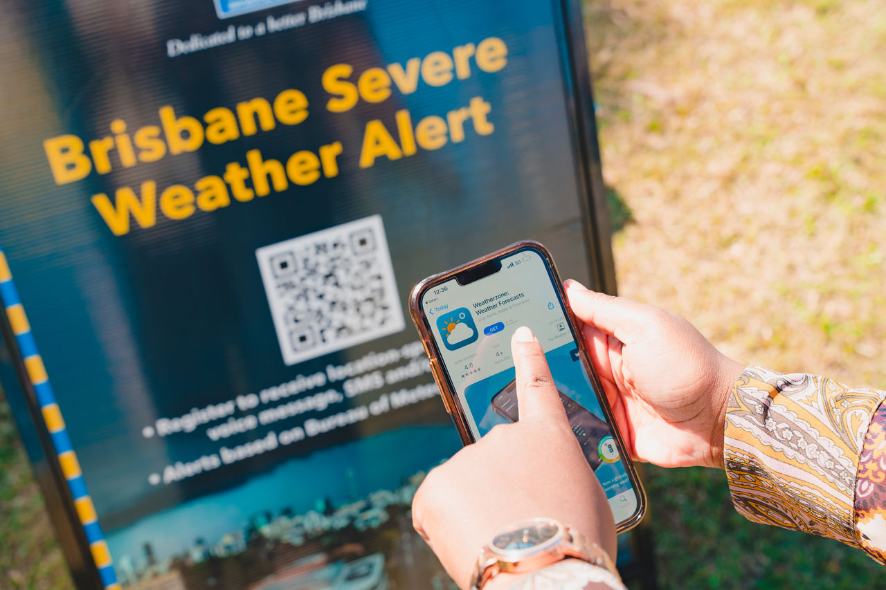
Emergency dashboard
View the latest emergency alerts for Brisbane. Find road closures, power outages and service disruptions near you.

Find more on how to understand and interpret the emergency dashboard mapping tool. This website contains general forecasts and information based on third-party information from the Australian Government’s Bureau of Meteorology. Read the disclaimer.
Weather warnings, fire danger ratings and weather observations are sourced from the Bureau of Meteorology. Use the source links above for the most recent updates.
News and community updates
Read Council’s latest community service announcements.
Social media updates
Emergency resources
You can get more detailed emergency response information directly from government organisations and service providers:
- QLDTraffic (Department of Transport and Main Roads) for road incidents
- Bureau of Meteorology for weather and rain radar
- Translink for service updates
- Energex for power outages
- Seqwater for water supply issues.
Radio stations for emergency information
It's vital you stay informed during an emergency or disaster.
Your local radio station may be your only source of information, as natural disasters may cause power outages, affecting landline and mobile phone services.
Local radio stations
- ABC Brisbane: 612 AM
- ABC News Radio: 936 AM
- Rete Italia (Italian language): 1053 AM
- Switch Brisbane: 1197 AM
- VAC Radio (Chinese language): 1656 AM
- Radio Brisvaani (Hindi language): 1701 AM
- 4RPH (radio for print handicapped): 1296 AM
- SBS Radio (international languages): 93.3 FM
- 4EB (ethnic community radio): 98.1 FM
- Triple A Murri Country (Indigenous community radio): 98.9 FM.
Emergency contacts
If you are in a life-threatening situation or need urgent medical help, call Triple Zero (000).
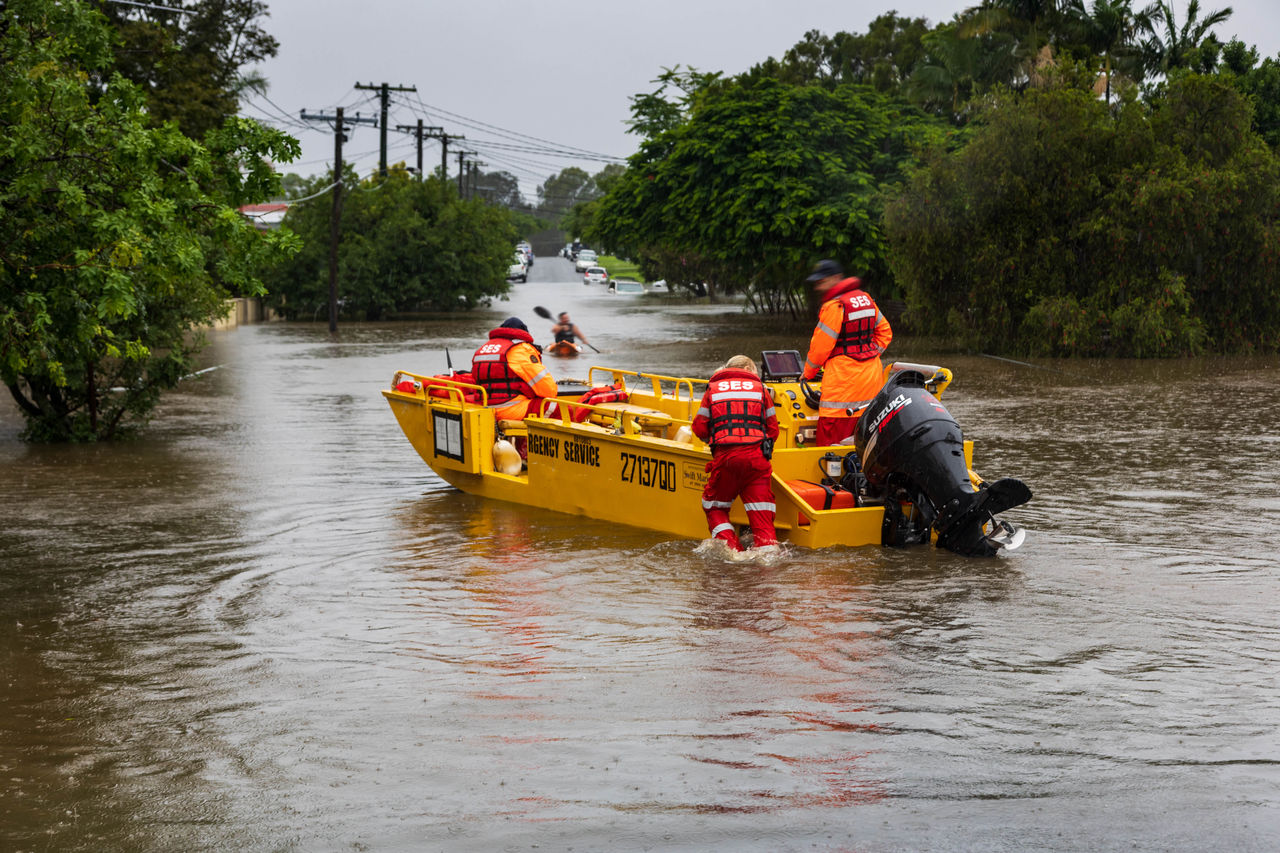
If you need emergency help in a storm or flood, call the State Emergency Services (SES) on 132 500.
Other useful emergency contacts to help you stay informed:
- Brisbane City Council 24 hour customer services – 07 3403 8888
- Energex (power outages) – 13 62 62
- Energex (fallen powerlines) – 13 19 62
- Urban Utilities (water outages) – 13 23 64
- Queensland Health (medical health – non emergencies) – 13 43 25 84
- Department of Transport and Main Roads (road incident, hazard or fault) – 13 19 40
- Community Recovery Hotline (information about disaster recovery funds and connections to social support services) – 1800 173 349
- Brisbane City Council - Warra Animal Rehoming Centre (lost animals) – 07 3631 6800
- Brisbane City Council - Willawong Animal Rehoming Centre (lost animals) – 07 3714 2800
Other emergency dashboards
Councils around Brisbane also maintain emergency dashboards. Find the dashboard for your local government area:
More resources to be prepared
Helpful links

Disclaimer
Brisbane City Council provides the content on this site as a source of general information. Council excludes all liability to any person arising directly or indirectly from using this site and any information or material available from it.
Information within this site is intended to prepare residents for an emergency or natural disaster to enable residents to decide whether further advice (relevant to your particular circumstances) is required. Information may not be accurate, current or complete and is subject to change without notice.
Content may include the views or recommendations of third parties, which do not necessarily reflect the views of Brisbane City Council or indicate a commitment to a particular course of action.
This dashboard contains general forecasts and information based on third-party information from the Australian Government’s Bureau of Meteorology.
The dashboard also makes use of third-party information provided by Queensland Fire Department, Queensland Traffic and Energex websites.
Council has no direct control over some content provided on this dashboard, any linked sites or the changes that may occur to the content on those sites. It is the responsibility of the user to make their own decisions about the accuracy, currency, reliability and correctness of information contained in linked external websites.
Links to external websites do not constitute an endorsement or a recommendation of any material on those sites or of any third party products or services offered by, from or through those sites. Users of links provided by this dashboard are responsible for being aware of which organisation is hosting the website they visit.
The dashboard does not contain information relating to flooding from creeks, storm tides, king tides, overland flow, local drainage or other similar events.
You acknowledge and agree that you are solely responsible for the use to which you put this dashboard, the forecasts, data and images you extract from this dashboard, and all the results and information you obtain from it. All warranties, representations, conditions, undertakings, and terms and conditions where express or implied, whether statutory or under the common law, that may otherwise give rise to any liability owed by Council to you, are excluded to the full extent permitted by the law.
Save in respect of death or personal injury arising out of strict negligence or for fraudulent misrepresentation, Council and all contributors to this website disclaim to the fullest extent permitted by law all liability for any loss or damage including any consequential or indirect loss or damage incurred by you, whether arising in tort, contract equity or otherwise, and arising out of or in relation to or in connection with your access to or use of or inability to use this web site.
Interpreting the emergency dashboard
Our emergency dashboard provides key information and updates to help you in a disaster.
The information in the indicator panel and on the map is a live data feed from the Queensland Fire Department (QFD). Active incidents include all current and active tasks that QFD has or is responding to. It may include structure fires, vegetation fires, road crash rescues, hazardous materials incidents and other types of incidents.
Within Council’s emergency dashboard map, only incidents within the Brisbane City Local Government Area are displayed. This information is extracted from the Queensland Emergency Services Computer Aided Dispatch (ESCAD) database. It is not ‘real time’ information but is provided as a general indication of current activity.
The symbols represent the general area of the incident(s). Although every care is taken to ensure that all information on this website is accurate and up-to-date, QFD cannot accept any responsibility for mistakes or omissions. All figures are updated every 5-10 minutes. Figures may differ from other QFD incident counts due to filtering.
The information in the indicator panel and on the map is a live data feed from the Department of Transport and Main Roads (TMR). This information is part of the QLDTraffic service that covers hazards, crashes, congestion, flooding, special events and roadworks. It is not ‘real time’ information but is provided as a general indication of current activity. The symbols represent the general area of the incident(s).
Although every care is taken to ensure that all information on this website is accurate and up-to-date, TMR cannot accept any responsibility for mistakes or omissions. All figures are updated every 5-10 minutes. Figures may differ from other QLDTraffic incident counts due to filtering.
Within Council’s emergency dashboard map, only incidents within the Brisbane City Local Government Area are displayed.
The information in the indicator panel and on the map is a live data feed from the Energex Outage Finder. It is not ‘real time’ information but is provided as a general indication of current activity. The symbols represent the general area of the incident(s).
Although every care is taken to ensure that all information on this website is accurate and up-to-date, Energex cannot accept any responsibility for mistakes or omissions. All figures are updated every 5-10 minutes. Figures may differ from other Energex incident counts due to filtering.
Within Council’s emergency dashboard map, only incidents within the Brisbane City Local Government Area are displayed. Additionally, only unplanned outages are included.
The information in the indicator panel and on the map is a live data feed from Brisbane City Council. The map will only show open evacuation centres and the indicator will show the count of open evacuation centres. This information can change during an event so residents are advised to check the emergency dashboard frequently during an event. The location of the evacuation centre is represented on the map. Clicking on the evacuation centre on the map will reveal additional information including the address of the centre.
During an event, the map will display the predicted flood extent based on advice issued by the Australian Government’s Bureau of Meteorology. The advice will comprise the date, time and height (in metres) for the predicted flood peak at the Brisbane River City Gauge (Kangaroo Point).
This advice will be prominently displayed in a footer on the bottom of the map. If no flooding is currently occurring in the Brisbane River, the words 'There is currently NO flooding event impacting the Brisbane River' will be displayed.
The address or place search has been configured to only return addresses within the Brisbane City Local Government Area (LGA). If you reside outside of the Brisbane City LGA, please consult your local council’s emergency dashboard. A full list of local government emergency dashboards can be found on the Queensland Government website. Most addresses or place names will return a result but Council takes no responsibility for the accuracy of the returned location or that the location returned will meet your needs. Lot/Plan type searches are not currently supported.
Your search may return several possible results. Selecting a record will zoom to that location and display the location on the map as blue and black pin. Clearing the search will remove the pin from the map.