Toohey Forest and Mount Gravatt Lookout
Visit Toohey Forest and Mt Gravatt Outlook Reserve. Find out about walking trails and how to get to the lookout.
About Toohey Forest and Mount Gravatt lookout
Just 10 minutes from Brisbane’s CBD, Toohey Forest Park covers about 260 hectares. It’s home to a diverse range of wildlife and includes picnic areas, walking tracks and shared trails. It also offers scenic views of the city and the surrounding suburbs.
Mount Gravatt Outlook Reserve covers 91 hectares. It includes a variety of bushwalking trails, a picturesque café and the Mt Gravatt lookout. On a clear day, you can see out to the Moreton Bay islands, D’Aguilar Ranges and Glasshouse Mountains.
The walking trails and the Griffith University Intercampus Link connect Toohey Forest Park to Mount Gravatt Outlook Reserve.
Getting there
Toohey Forest and Mount Gravatt lookout
Toohey Forest Park
600 Toohey Road, Nathan Qld 4111Open 24 hours
Mayne Estate picnic area and Toohey picnic area are open 6am–7pm daily
Mount Gravatt Outlook Reserve
185 Shire Road, Mount Gravatt Qld 4122Open 24 hours
Gertrude Petty Place and Mt Gravatt Outlook picnic area are open 6am–11pm daily
Travel options
Access Toohey Forest from Toohey Road, Tarragindi. There are 2 car parks that can be accessed from Toohey Road.
Access Mount Gravatt Outlook Reserve from Shire Road, Mt Gravatt. There are 2 car parks on Mount Gravatt Outlook Drive:
- Gertrude Petty Place picnic area
- Mount Gravatt lookout.
Access trails in the forest and the reserve from the surrounding streets.
Plan your trip with Translink’s Journey Planner.
Plan your route using our bike paths map.
Plan your visit
Toohey Forest and Mount Gravatt Outlook Reserve have something for everyone.
Go on a picnic, look for local wildlife, exercise in the great outdoors and see the city from new heights.
Drive or walk up to the Mt Gravatt lookout for panoramic city views. The summit includes a café, playground and toilet block.
When visiting these natural areas:
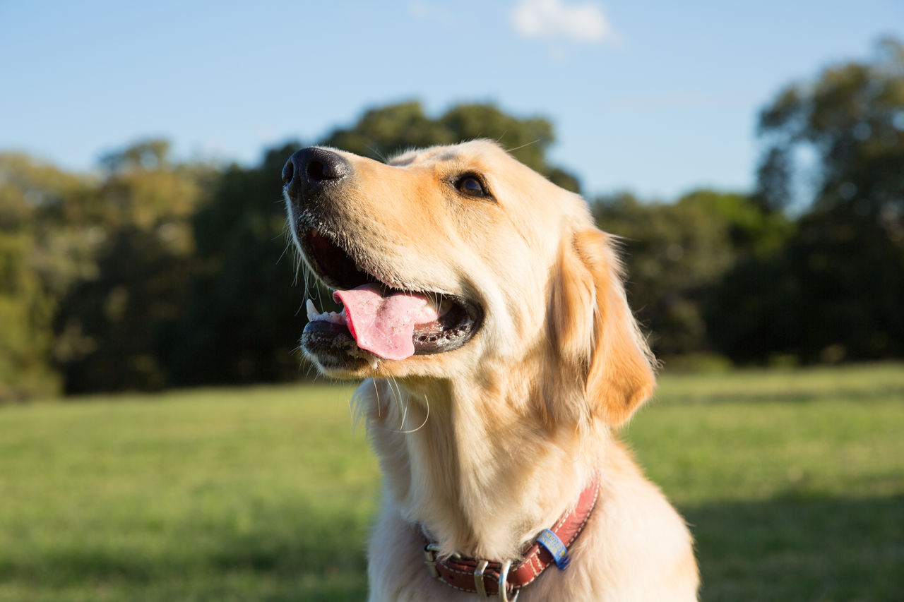
- Keep your dog on a leash.
- Stay on the designated tracks.
- Don't touch or interfere with local wildlife and plants.
- Dispose of rubbish and dog waste responsibly.
Toohey Forest and Mount Gravatt Outlook Reserve have walking tracks suitable for every age, experience and fitness level.
Choose from easy, moderate and hard tracks on both paved and unpaved trails.
Download the track map to find the perfect track for you.
Want to explore more of Brisbane on foot? Find other places to go walking and running.
Sit back, take in the scenery and eat your packed meal at one of the picnic areas.
You’ll find 2 at Toohey Forest Park, each with barbecues:
- Mayne Estate picnic area
- Toohey picnic area.
Mount Gravatt Outlook Reserve has 2 picnic areas:
- Gertrude Petty Place, at the base of Mount Gravatt
- Mt Gravatt Outlook picnic area, on the summit.
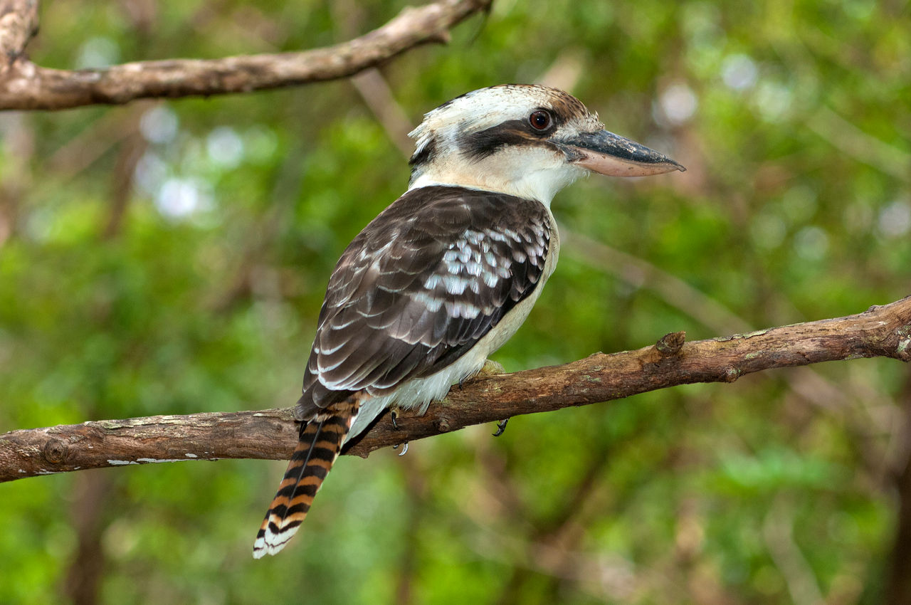
You’ll find more than 400 species of native wildlife and plants at Toohey Forest Park and Mount Gravatt Outlook Reserve.
When you visit, look out for:
- bats and flying foxes
- lizards, skinks and frogs
- koalas, echidnas, possums and gliders
- owls, tawny frogmouths, fairy wrens, fantails, cockatoos, parrots and hawks.
Find out more about Brisbane's native animals.
The walking tracks wind through sandstone and quartzite outcrops and various eucalypt species trees. In the understorey, you’ll see:
- wattles
- she-oaks
- creepers
- heath species
- grasses.
Improve your fitness and challenge yourself by bouldering in Toohey Forest.
Bouldering is permitted in designated areas within the reserve:
- the area next to the Sandstone Rest Area
- an area next to the Escarpment Track.
Make sure you follow all guidelines when you boulder.
You can download the map to view the designated bouldering areas.
Frequently asked questions
Yes, leashed dogs are allowed in Toohey Forest. Make sure you clean up after your dog and dispose of any waste responsibly.
If you want to let your dog run free after visiting, there’s a dog off-leash area at Salisbury Recreation Reserve. It's located on the corner of Evans Road and Wincott Street.
The Mount Gravatt Summit Track is a 1.2 km trail that takes about 40 minutes.
It begins at Gertrude Petty Place and ends at the Mount Gravatt Outlook.
Alternatively, you can reach the lookout by car. Enter the reserve via Shire Road and follow Mount Gravatt Outlook Drive to the summit.
For more information, download the Toohey Forest Park track map.

-2048x2048.jpeg/_jcr_content/renditions/cq5dam.web.1280.1280.jpeg)