Transport and parking
Apply for a parking permit. Learn about road safety around schools. Get the latest information on transport projects.

- Parking Find out about Brisbane’s parking areas and fees, parking permits and rules, and paying for fines.
- Public transport Find information about buses, CityCats, ferries, Council Cabs, Brisbane Metro and other transport services in Brisbane.
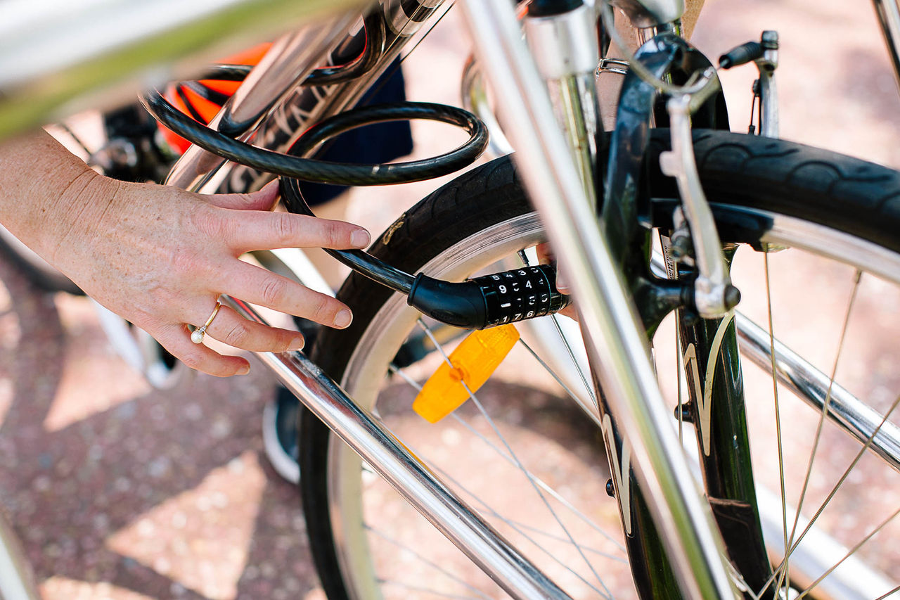
- Bikeways in Brisbane Find routes, facilities and safety advice to help you enjoy riding and walking in Brisbane.
- Roads and intersections Find out about roadworks, road closures and cleaning in your area.
- Traffic management and safety Apply for road closure permits, request traffic data and learn about school road safety.
- Transport programs and projects Explore the programs and projects that will make it easier to get around our city, ease congestion and improve road safety.