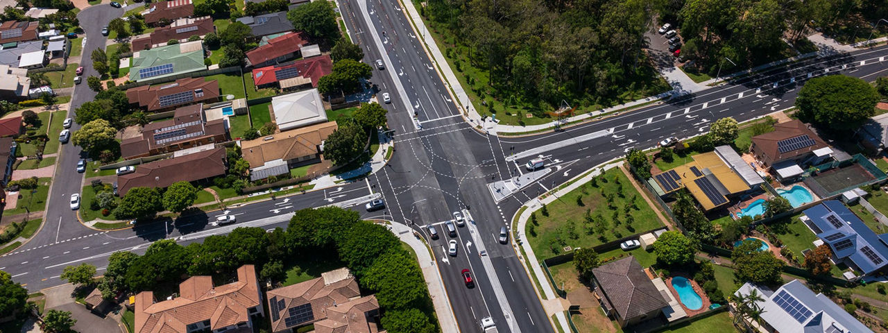
The fly-through video shows an aerial view of the Carseldine, Fitzgibbon, Taigum and Zillmere area, with animations highlighting these suburbs. A red pinpoint is pointing towards Beams Road, with white labels highlighting Gympie Road, Lacey Road, Cowie Road, Dorville Road and Handford Road.
The fly-through then shows an animation of labels appearing above key landmarks, highlighting Carseldine Central, Carseldine Market, Carseldine Village, Carseldine Station, Holy Spirit College, Cabbage Tree Creek and St Flannan’s School.
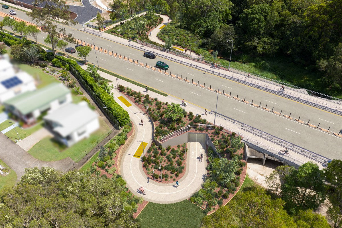
The fly-through transitions from an aerial perspective to an east-facing perspective above the Handford Road and Beams Road intersection. The fly-through moves from Handford Road west along Beams Road and transitions to a north-west facing perspective above the Cabbage Tree Creek shared path underpass. A yellow animated line travels along the Cabbage Tree Creek shared path and through the underpass, before connecting back on to Beams Road in front of the Holy Spirit College.
The fly-through continues west along Beams Road towards Golden Place and Carselgrove Avenue. An animation of a grey rectangle indicating the Queensland Government Rail Level-Crossing Project starts from Golden Place and Carselgrove Avenue and finishes at the intersection of Plaza Place and Balcara Avenue.
The video then continues travelling west on Beams Road towards the Dorville Road and Beams Road intersection, and the Cowie Road and Beams Road intersection. The fly-through continues travelling west on Beams Road towards the Lacey Road and Beams Road intersection. The video then fades out at the end of the project zone.