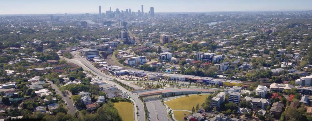
The fly-through video shows an aerial view with animations of Indooroopilly to highlight where Moggill Road and Coonan Street connect, labelling this as the location of the Indooroopilly roundabout upgrade. The video shows the Brisbane city centre in a north-eastern direction.
The fly-through then shows an animation of an arrow travelling north along Moggill Road under the underpass inbound to the Brisbane Central Business District (CBD). The video then shows an animation of an arrow travelling north along Moggill Road turning right onto the overpass and down onto Coonan Street. Next the video shows an animation of an arrow travelling north along Moggill Road turning right onto the overpass then turning left mid-way across the overpass into Indooroopilly Central.
The fly-through then shows an animation of pop-up labels to display that the existing crossing will be relocated to Moggill Road adjacent to Stamford Parade. Another label then shows that Stamford Parade will maintain left in and left out access.
The fly-through then shows an animation of an arrow travelling along Coonan Street turning left onto Moggill Road travelling outbound from the Brisbane city centre. The video then shows an animation of an arrow travelling from Coonan Street onto the overpass then turning right onto Moggill Road travelling inbound toward the CBD. Next the video shows an animation of an arrow travelling from Coonan Street onto the overpass and turning right mid-way across the overpass down to Indooroopilly Central.
The fly-through video changes its aerial view with animations of Indooroopilly to show the CBD in a south-west direction.
The fly-through video shows an animation of an arrow travelling outbound from the CBD along Moggill Road under the underpass and continuing along Moggill Road. The video then shows an animation of an arrow travelling outbound from the Brisbane city centre along Moggill Road then veering left to continue along Coonan Street. Next the video shows an animation of an arrow travelling outbound from the CBD along Moggill Road before veering left onto Coonan Street before making another left turn into Indooroopilly Central. The fly-through then shows an animation of an arrow travelling outbound from the Brisbane city centre along Moggill Road under the underpass then making a left turn onto Stamford Parade.
The fly-through video changes its aerial view with animations of Indooroopilly to show the CBD to the west.
Animations are used to show where traffic lights will be installed in three separate locations. These locations include on Coonan Street outside Indooroopilly Central before the onramp to the overpass; at the top of the overpass at the intersection of the Moggill Road Service Road and Coonan Street; and when turning left outbound from Stamford Parade.
The fly-through video then shows animated pop-up labels to display the first two entrances into Indooroopilly Central on Coonan Road travelling outbound from the CBD are entrance only and the third is exit only. The video then shows animated dotted lines and a pop-up label to display a left in and left out access from Keating Street onto Coonan Street.
The fly-through video shows an animated pop-up label to display that the bus stop has been relocated to Moggill Road before the overpass when travelling inbound to the CBD. Another label and dotted lines then display that Stamford Parade will maintain a left in and left out access. Another label then shows that the existing crossing will be relocated to be situated on Moggill Road adjacent to Stamford Parade. Next the fly-through video shows an animation of dotted lines along the outside lane of Moggill Road to indicate a dedicated bike lane.