Road and transport safety programs
Learn about road safety programs including speed limits, traffic calming devices and pedestrian countdown timers.

Transport and road safety
You should always feel safe on Brisbane’s roads. Council’s road safety programs help ensure motorists, cyclists and pedestrians can get around Brisbane’s CBD and suburbs easily and safely.
Safety is one of the key principles of Council’s Transport Plan for Brisbane.
To make our city safer for everyone to travel, live and visit Brisbane, Council makes road safety improvements in:
- residential neighbourhoods
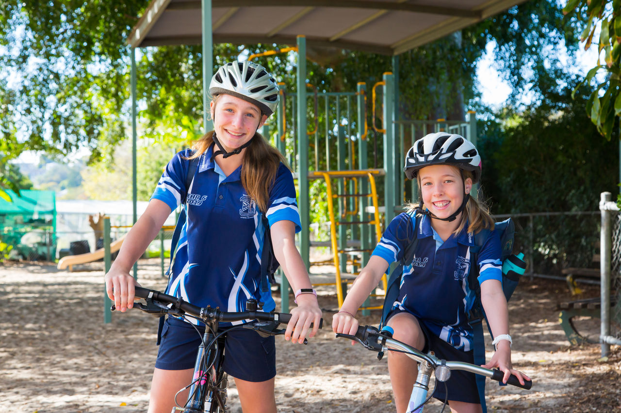
- school zones
- areas with high pedestrian activity.
Improving road safety
Road safety infrastructure and devices make getting around Brisbane’s local traffic areas and suburban streets safe and enjoyable for all road users.
Whether you drive, ride or walk, road safety affects everyone.
Play your part to improve road safety by being aware of the Queensland road rules, that relate to safety devices and infrastructure, including:
- speed platforms
- speed humps
- roundabouts
- traffic islands
- road signage
- line markings
- pedestrian refuge islands
- bike lanes.
Road safety infrastructure and devices
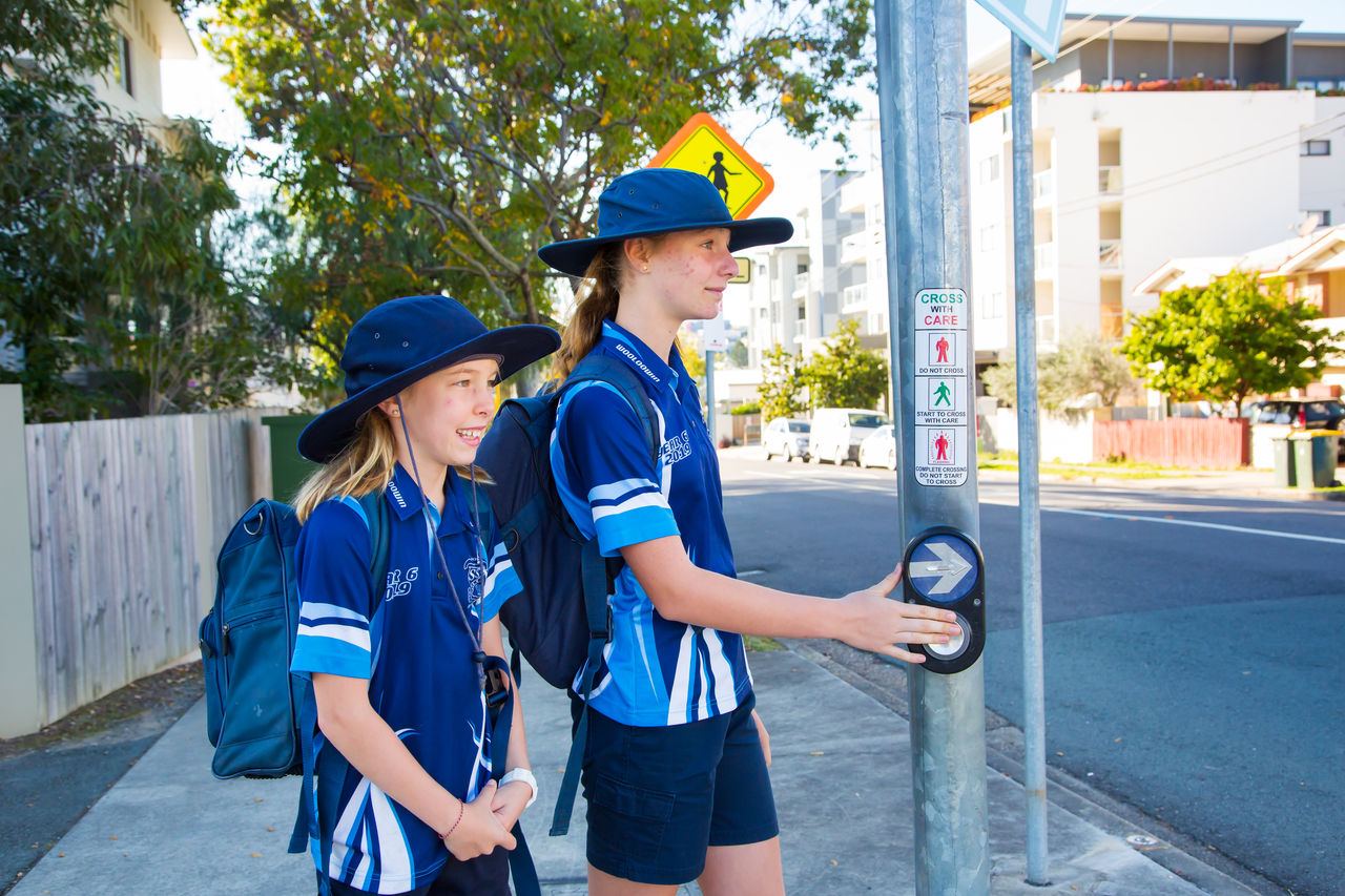
Pedestrian countdown timers
Use the timer to judge whether you have enough time to finish crossing the road before the red ‘Don’t walk’ person is displayed.
Traffic lights
Always stop at a red light and only drive through an amber light if you can’t stop safely when the light changes from green to amber.
If you’re approaching traffic lights with flashing amber lights, slow down and prepare to stop to give way to vehicles, cyclists and pedestrians. You can cross the intersection if it’s safe to do so.
Left-turn on red
An eight-year trial of the rule ended in 2021 and all left-turn signage has been removed.
Reporting traffic light faults
To report traffic light problems, call Council on 07 3403 8888 or the Traffic Management Centre on 13 19 40.
You’ll need to note:
- the location of the traffic light
- the direction of traffic
- the direction the light is facing.
Speed limits
Driving at a safe speed is key to avoiding an accident. Not all streets have speed limit signs, so it’s important to know the default speed limits in Brisbane.
| Road or location | Speed limit |
|---|---|
| Brisbane CBD | 40 km per hour |
| Brisbane neighbourhood or local roads | 50 km per hour |
| Brisbane arterial roads | Signed speed limits of up to 80 km per hour |
| Brisbane motorways | Signed speed limits of up to 110 km per hour |
Traffic calming devices
Local area traffic management (LATM), also known as ‘traffic calming’, involves installing treatments that moderate vehicle speeds, discourage non-local traffic use, and improve amenity and road safety in neighbourhood precincts for all road users.
Treatments may include:
- roundabouts
- speed humps
- slow points
- chicanes
- traffic islands
- crossings.
Traffic calming devices are used on roads classified as neighbourhood and local roads under Brisbane City Plan 2014.
To request an initial investigation into whether LATM is suitable in your street and for more information, phone Council on 07 3403 8888.
Download the Local area traffic management fact sheet for more information on how Council uses traffic calming devices.
Road safety tips
- Use pedestrian countdown timers to help you judge whether you have enough time to start crossing the road before the ‘Don’t walk’ sign appears.
- Only drive through amber traffic lights if you can’t stop safely when the light changes from green to amber.
- Slow down when approaching flashing amber traffic lights and prepare to stop to give way to vehicles crossing the intersection. Drive through only when it’s safe to do so.
- Stick to speed limits on roads. The default speed limit is 40 km/h in the Brisbane CBD and 50 km/h on suburban streets.
Helpful links
Frequently asked questions
Speed signs are installed in some streets but not others because they can add unnecessary clutter and divert drivers’ attention from important warning signs. If there’s no signed speed limit on a street, you should assume the default speed limit applies as set by Queensland road rules.
The speed limit in Brisbane CBD is 40 km/h, except on Turbot Street and part of Ann Street, where it’s 60 km/h to maintain traffic flow.
You can improve your school’s road safety by developing a Traffic Management Plan or signing up for Council’s Active School Travel program.
You may have to wait up to 2 minutes at a red traffic light. Wait times vary depending on the size of the intersection, but the busiest approach is usually given the highest priority.
You’re only allowed to do a U-turn at traffic lights signed ’U-turn permitted’. You can’t do a U-turn at any other traffic lights.
If you’re approaching a flashing yellow traffic light, slow down and prepare to stop to give way to vehicles driving through the intersection. You can drive through when it’s safe to do so. Refer to the Queensland’s Government’s road rule for more information on the Give Way rule.
No, you can’t turn left on red in Brisbane.
Council’s trial of the left-turn-on-red rule ended in 2021 and the data collected was submitted to the Department of Main Roads (TMR). TMR concluded the safety risk to pedestrians outweighed the time-saving benefits of the left-turn-on-red rule and all ‘Left turn on red’ signs have been removed from intersections in Brisbane.