Find reserves and forests
Discover local bushlands, wetlands and forests. Learn how you can enjoy and protect our natural spaces.

Explore Brisbane’s bushland reserves and wetlands
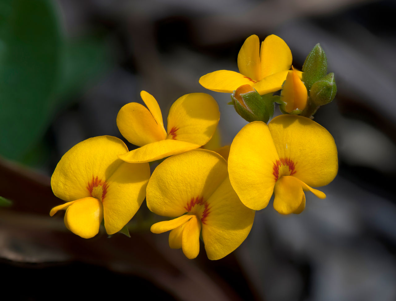
Brisbane’s unique bushlands, wetlands and forests are home to a diverse range of native animals and plants.
They’re part of more than 10,000 hectares of natural areas managed by Council.
- Protecting biodiversity.
- Preserving bushland for future generations.
- Giving locals and visitors the opportunity to enjoy our natural environment.
Visit our reserves to go for a bushwalk, spot native wildlife, enjoy a picnic or get involved in nature-based activities.
Not sure where to start?
Check out Brisbane’s most popular bushlands, wetlands and forests.

Map of bushland reserves and wetlands
Explore the bushlands, wetlands and forests on our doorstep.
Visiting our bushlands and wetlands
Brisbane’s bushlands, wetlands and forests play a crucial role in supporting diverse ecosystems and providing valuable habitat.
When visiting a bushland reserve:
- Follow park signage, especially track signs.
- Keep to authorised and existing tracks.
- Take your rubbish home with you or put it in a bin.
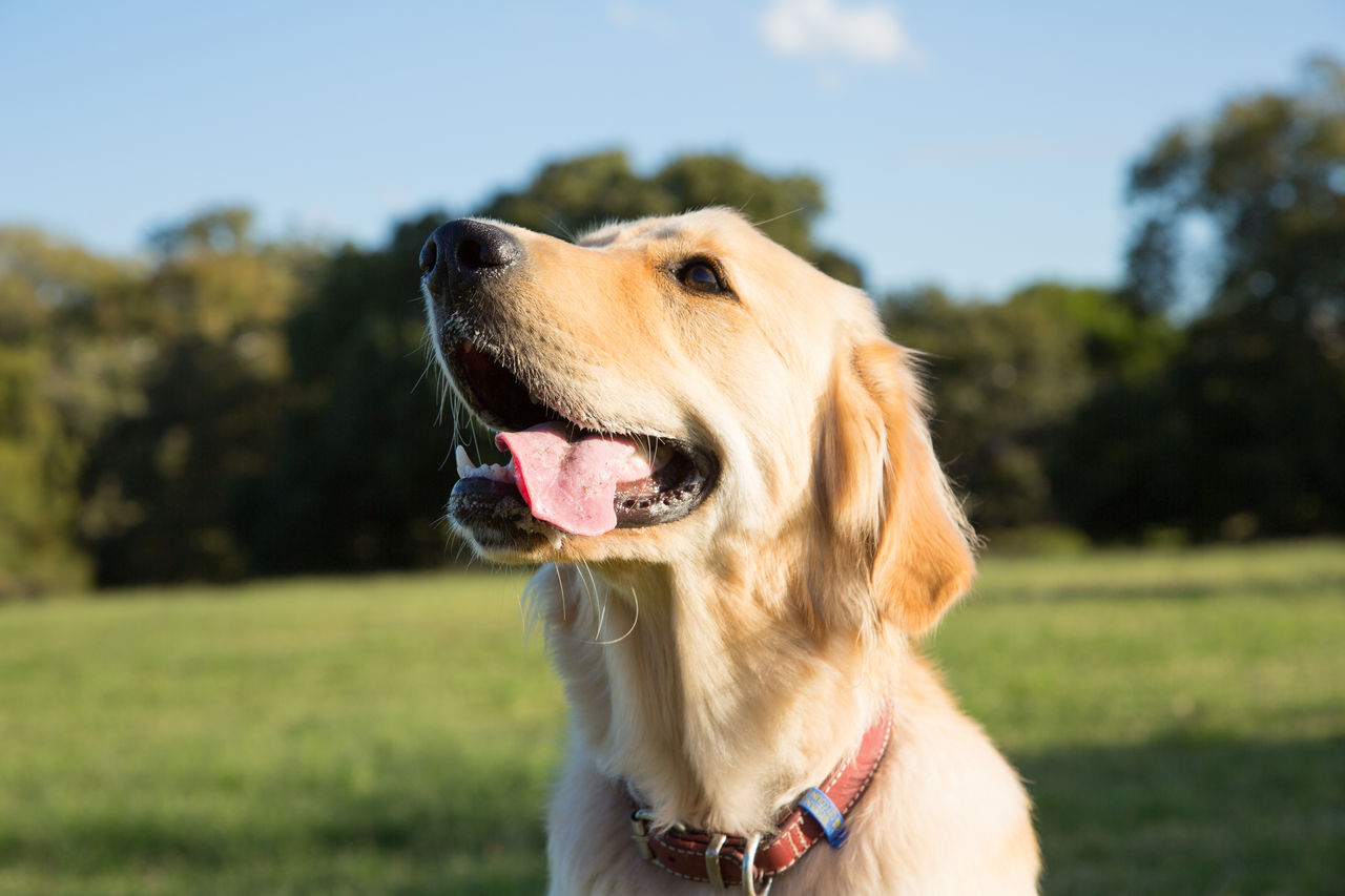
- Leash your dog, unless you’re in a dog off-leash area.
- Clean up after your dog and put dog waste in the bin or take it home with you.
If you live near a reserve:
- Fence your property to ensure your dog can’t escape and wander into a reserve.
- Maintain your garden to avoid introducing weeds and pest species into bushlands and wetlands.
- Do not dump rubbish or green waste in a reserve.
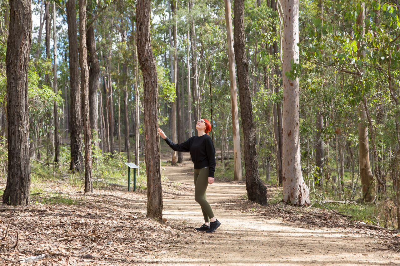
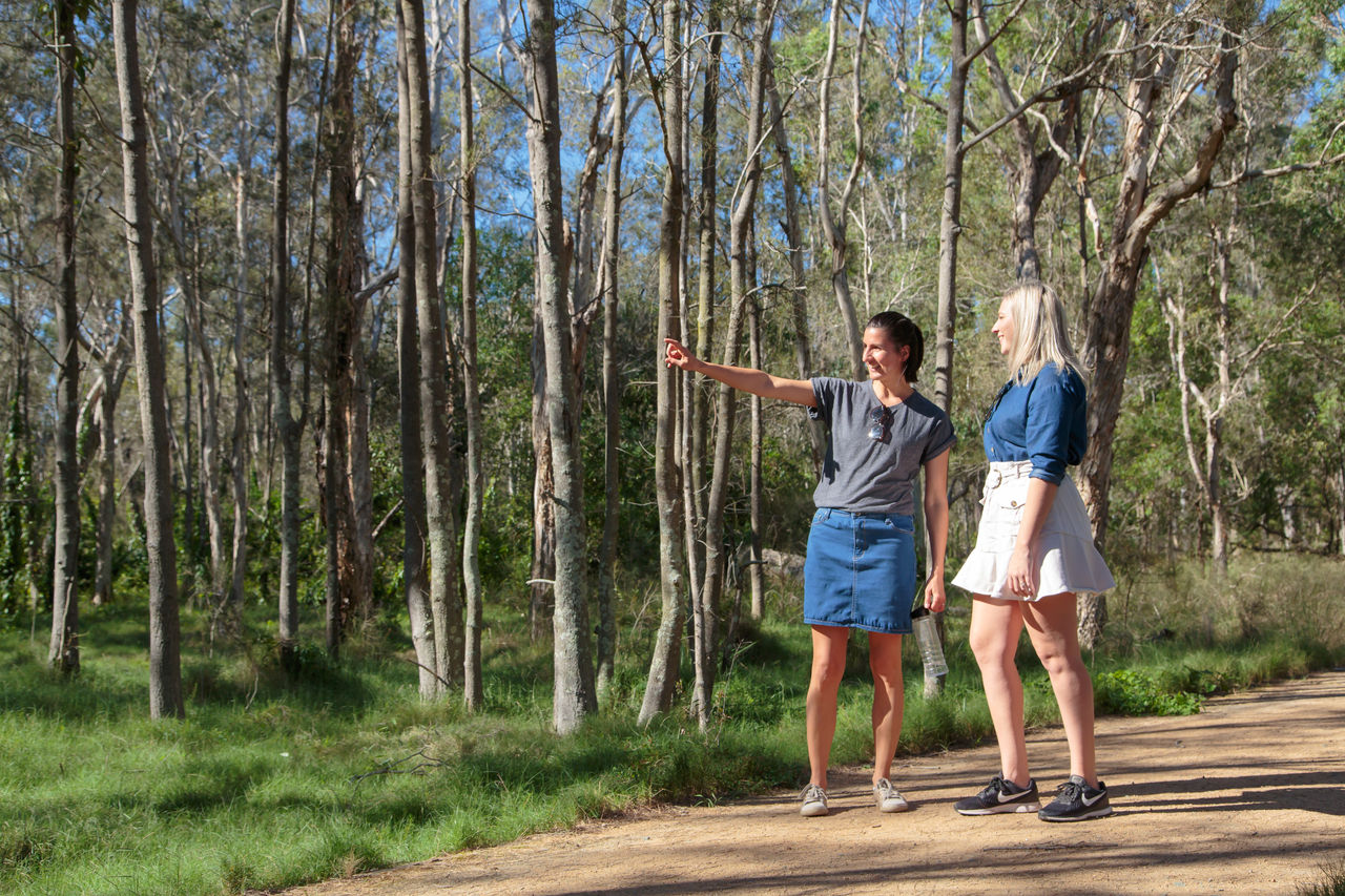
Experience the unique environments of our bushland reserves and wetlands on the walking tracks and trails.
Each natural area offers something new to explore, from eucalypt forests and dry rainforests to wetlands and spectacular views.
To make the most of the walking tracks and trails:
- Use our track maps to choose a trail that best suits your experience and fitness level.
- Join a guided walk at Council’s environment centres to learn about local wildlife and plant life.
- Stop to take in the scenic views along the way and get a bird’s-eye view from the lookouts.
- Make it a more active experience and ride your mountain bike or horse on suitable tracks.
Off-road biking is a way to enjoy the outdoors, get active, and explore nature.
Dedicated bike tracks are specially designed to fit into the natural landscape. This keeps track users, the environment and wildlife safe.
You can go off-road cycling on designated tracks within some forests and reserves in Brisbane.
Always refer to track maps and signs to make sure the trail is bike-friendly. This helps keep all users safe and protects the surrounding environment.
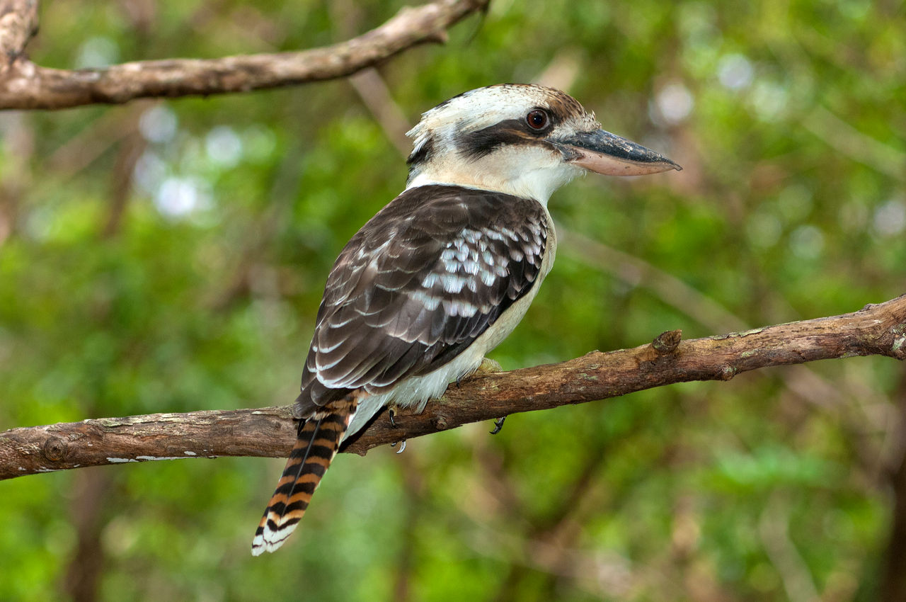
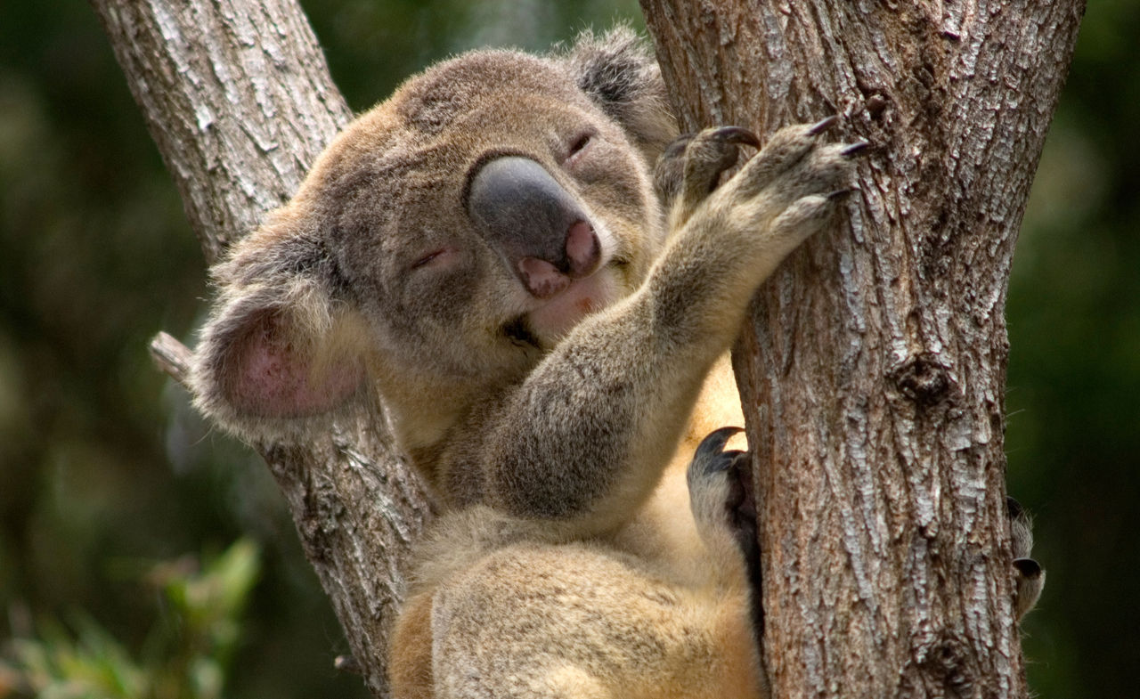
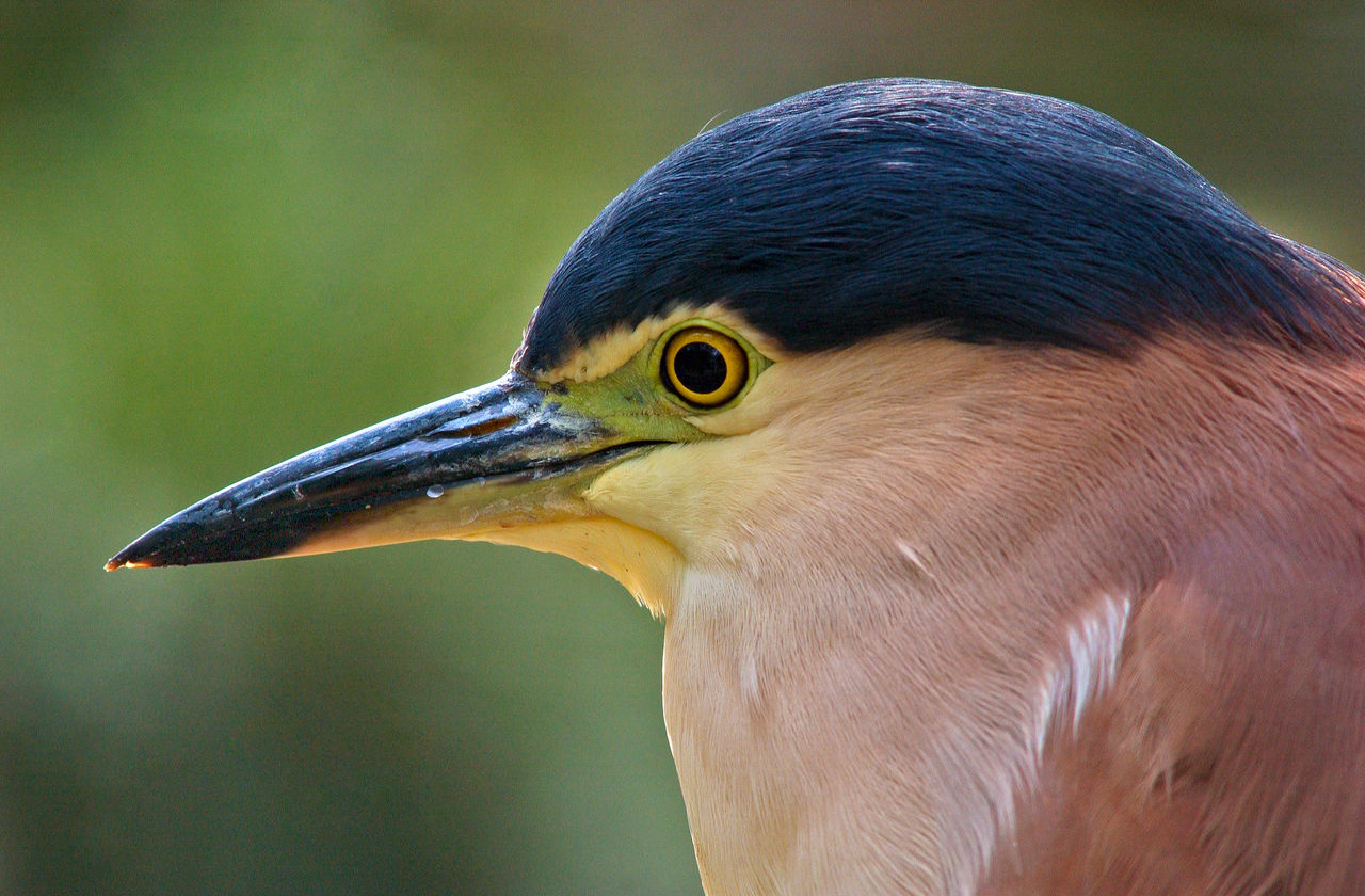
Brisbane's bushlands, wetlands and forests are home to an incredibly diverse range of wildlife.
When you explore our natural areas, you can encounter reptiles, mammals, birds and insects. You may even catch a glimpse of animals you won’t find elsewhere, including rare, threatened and endangered species.
Spot a koala in the Brisbane Koala Bushlands or a water dragon in the Chermside Hills Reserves. Listen to tusked frogs calling in Karawatha Forest.
Visit our bushland reserves, wetlands and forests to see animals in their natural habitats.
You can see koalas in their natural habitat at:
- Belmont Hills Bushland
- Anstead Bushland Reserve
- Hemmant Quarry Reserve
- Brisbane Koala Bushlands
- Whites Hill Reserve
- Karawatha Forest
- Toohey Forest and Mount Gravatt lookout.
Look up into the forks of eucalyptus trees, where they often rest. Koala droppings at the base of a tree can indicate that there are koalas in the tree or the surrounds. Droppings look like dark to light brown pellets.
Yes, there are mangrove boardwalks in Brisbane. They include:
- Wynnum Mangrove Boardwalk in the Bayside Parklands
- Tabbil-ban dhagun Boardwalk in Boondall Wetlands
- Island Circuit Track in Tinchi Tamba Wetlands
- Mangrove Walk in Brisbane City.
Find mangroves, wetlands and bushlands in Brisbane.
-2048x2048.jpeg/_jcr_content/renditions/cq5dam.web.1280.1280.jpeg)