>>The Brisbane Local Government Area contains more than 4,000 kilometres of waterways.
Brisbane experiences flooding from four sources and it’s important to understand these and to be prepared. This will help you stay safe, confident and ready for flood.
Creek flooding in Brisbane occurs when there is prolonged rainfall over a creek catchment. Intense rainfall, over an already saturated catchment, during the summer storm season could also result in creek flooding.
River flooding occurs when the river reaches capacity and excess water flows over its banks or backs up through the drainage system as backflow. This happens when there is widespread and prolonged rainfall over the upper catchments of the Brisbane River and can lead to floods in adjacent creeks. River flooding can occur hours after the rain has stopped.
Overland flow is the most common type of flooding during the summer storm season in Brisbane and can be unpredictable. It is the stormwater run-off that travels over the land when there are heavy rainfall events. It’s fast-moving and generally lasts for a short duration.
Storm tide flooding happens when there are higher than normal sea levels caused by a storm surge and is more likely to occur when there is high tides or king tides. This type of flooding affects low-lying areas close to tidal waterways and foreshores.
Use Brisbane City Council’s Flood Awareness Map to view a property and understand the likelihood of flooding from these flood sources on a property or in a suburb.
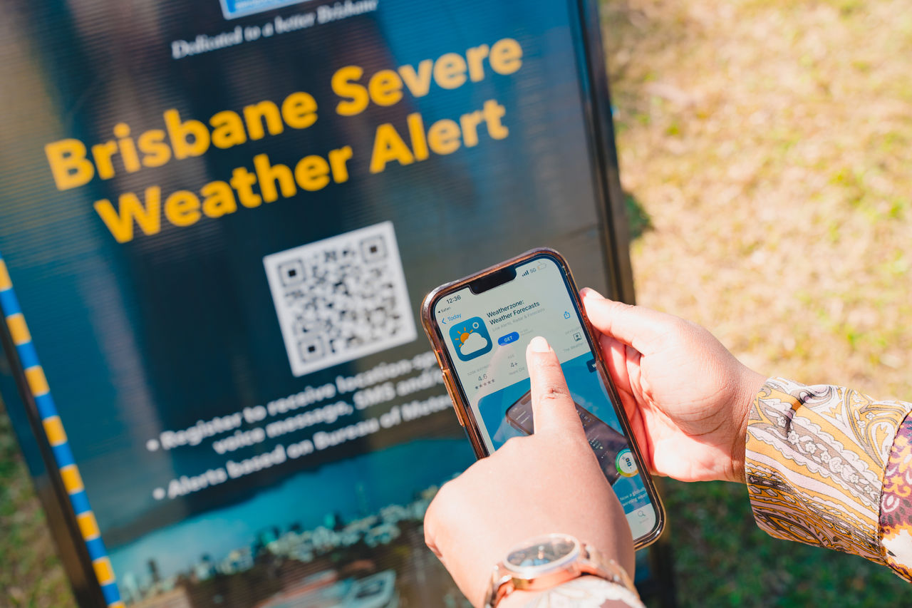
Council’s Flood Information Online can help residents and visitors stay safe, confident and ready.
.jpg/_jcr_content/renditions/cq5dam.web.1280.1280.jpeg)