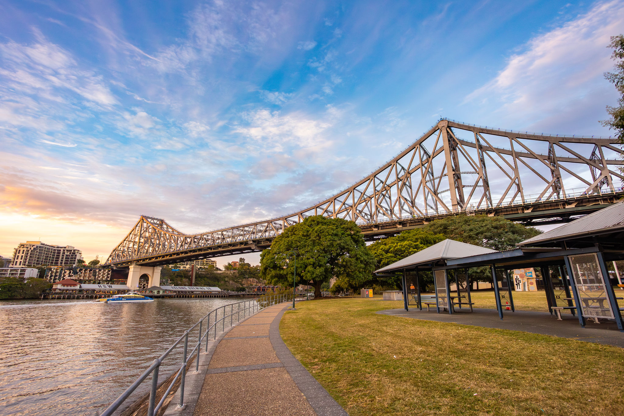
Council projects
Explore the upgrades and projects improving Brisbane’s roads, bikeways, venues, neighbourhoods and natural areas.
-2048x2048.jpeg)
More Brisbane projects
-
Brisbane 2032 Olympic and Paralympic Games
Explore how we're getting ready for the Brisbane 2032 Olympic and Paralympic Games. Discover how the Games will benefit our city. -
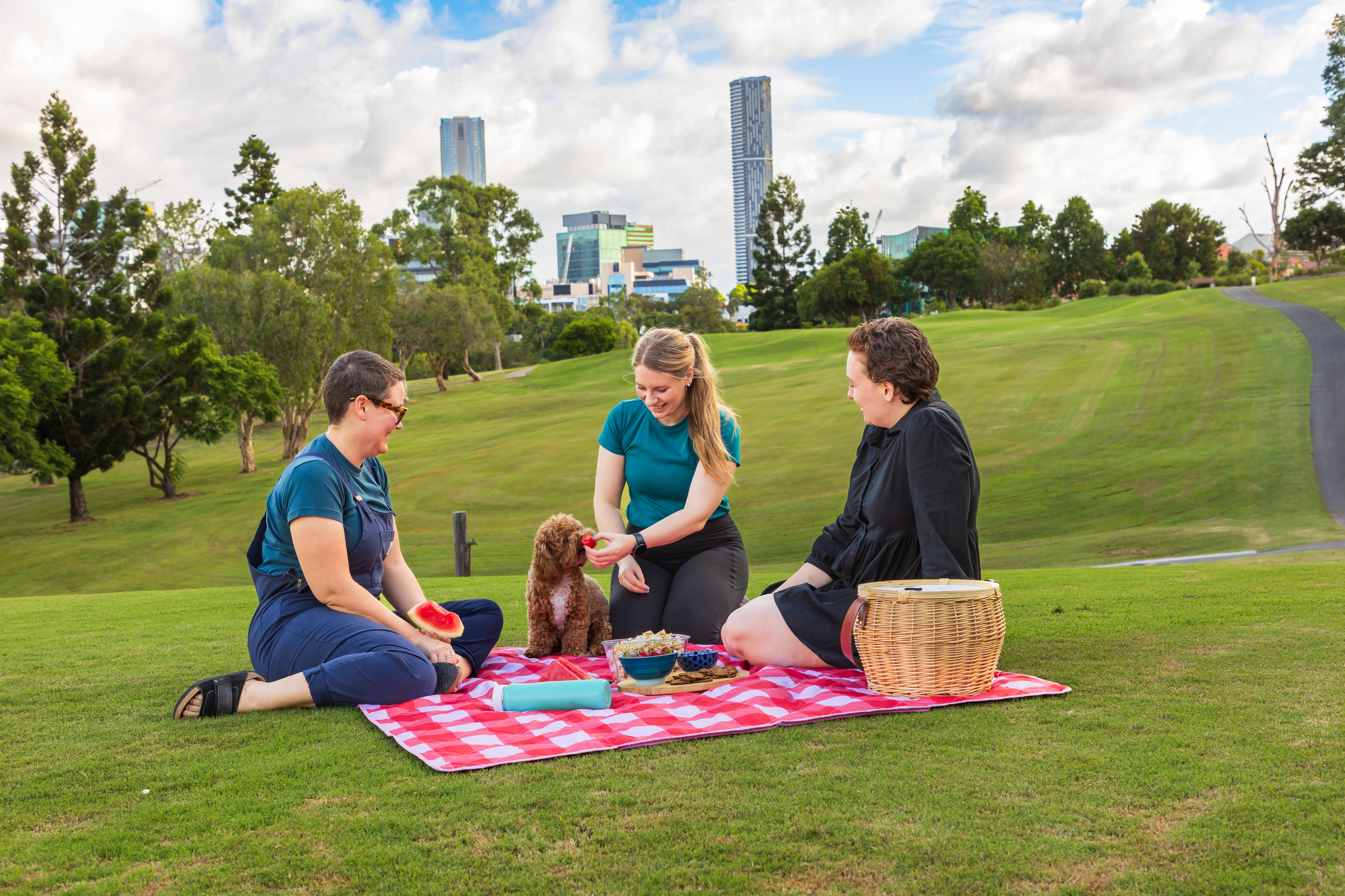
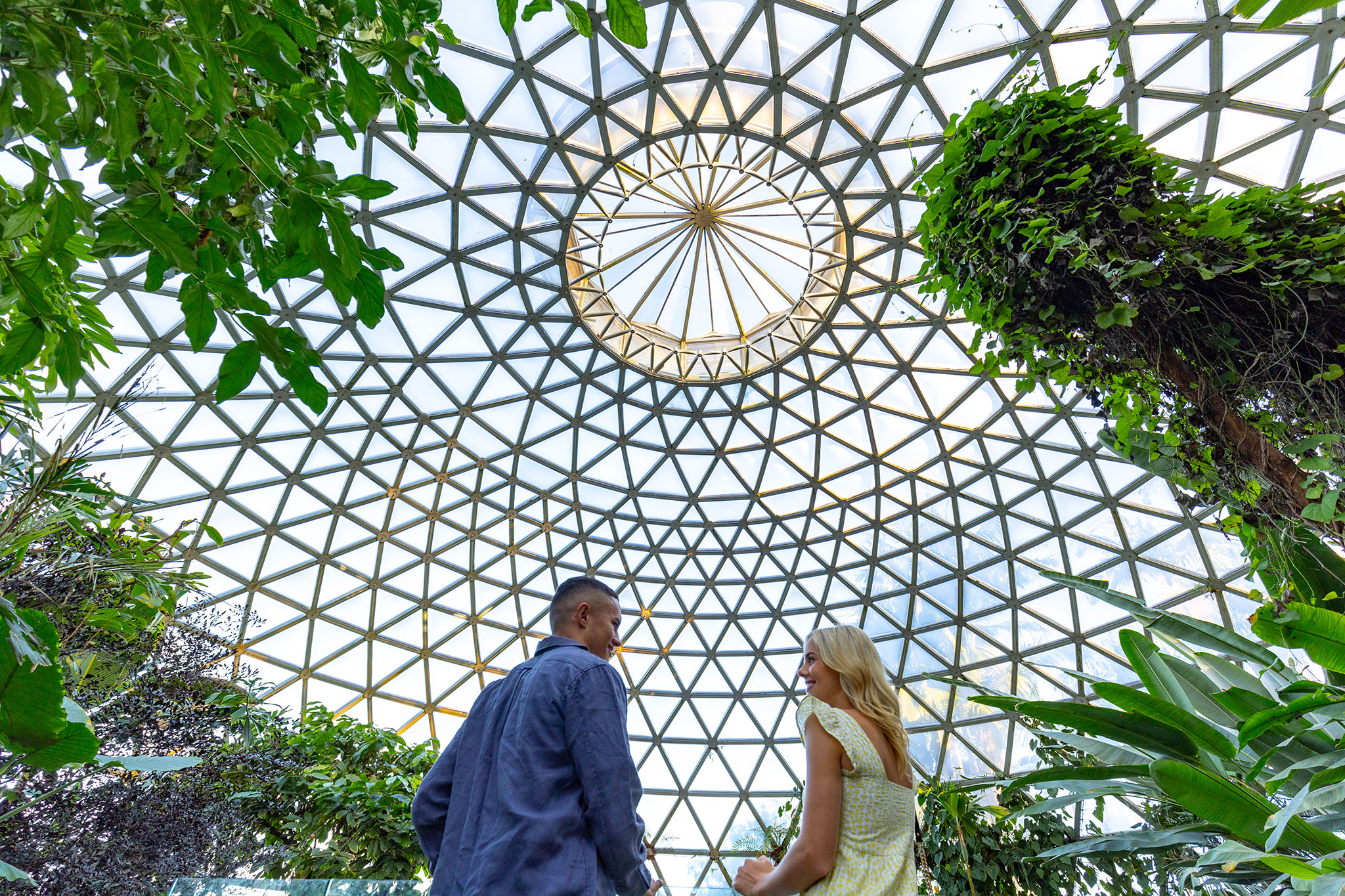
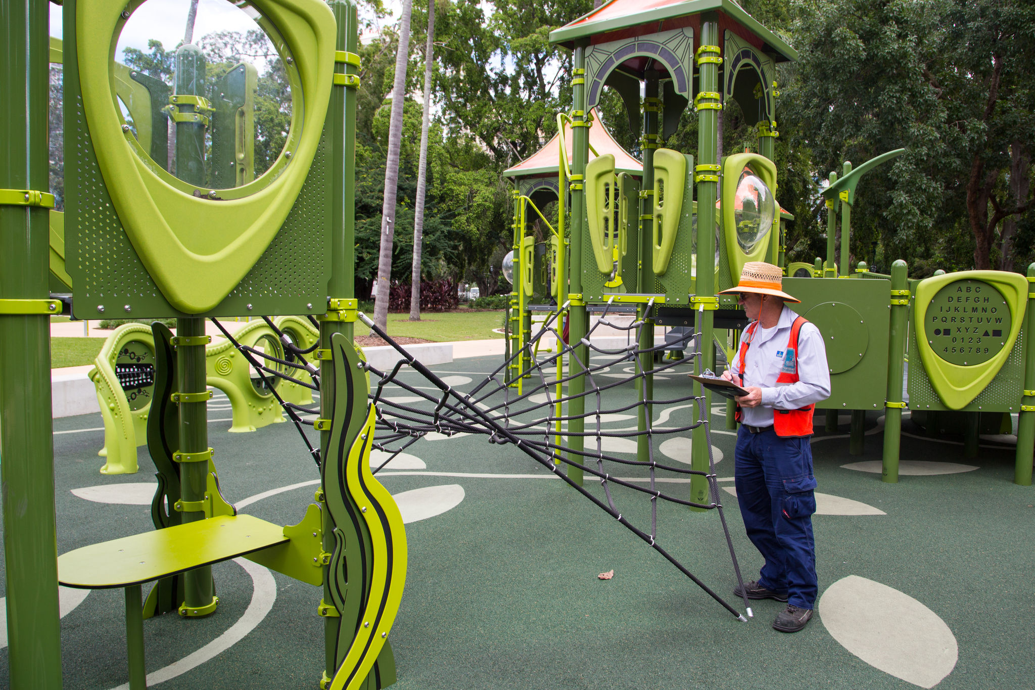
Park programs and projects
Enjoy our new and revitalised parks, gardens and outdoor spaces. See what we’ve done so far and what’s still to come. -
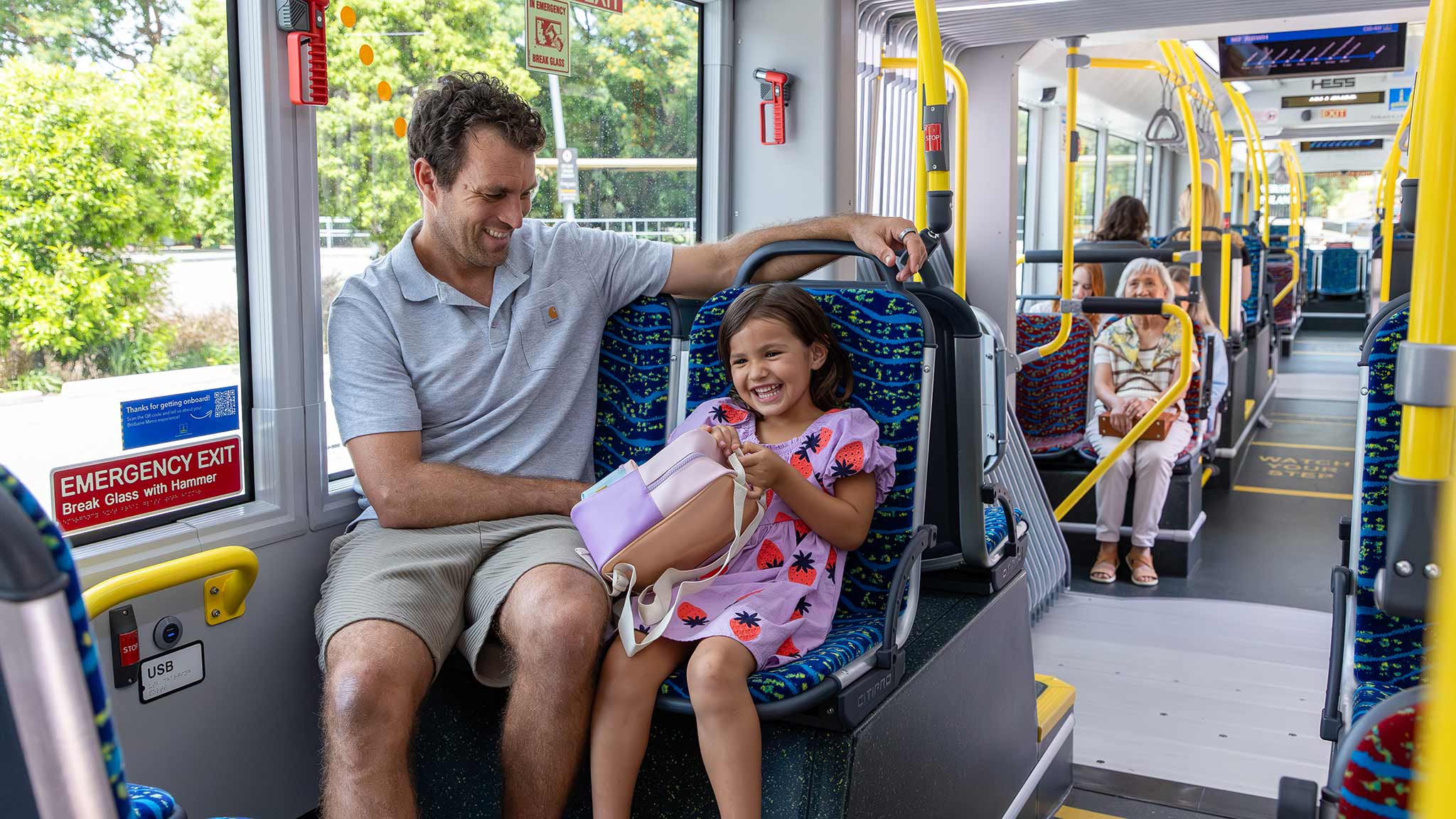
Transport programs and projects
Explore the programs and projects that will make it easier to get around our city, ease congestion and improve road safety.